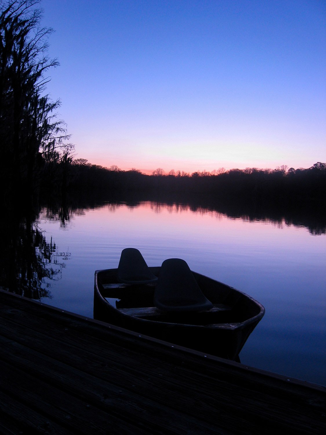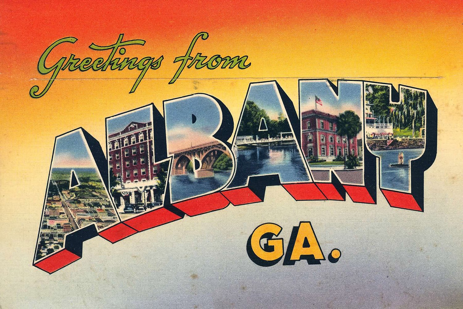
It’ll take years to publish all my pictures from the Deep South and fully exorcise the place from my memory. Damn it, I’ll make it happen, though.
Lately, I’ve been digging deep into the archives, and this is about as deep as it goes: All the photographs on this page were taken in and around Albany, Georgia, between 2005 and 2012.
It’s incredible to think that some of these images are over 20 years old—one was even shot on film and scanned.
My time in Albany wasn’t pleasant, but I learned to make the best of it, and through a lot of solitary wandering, I came to appreciate the area’s unique natural beauty.
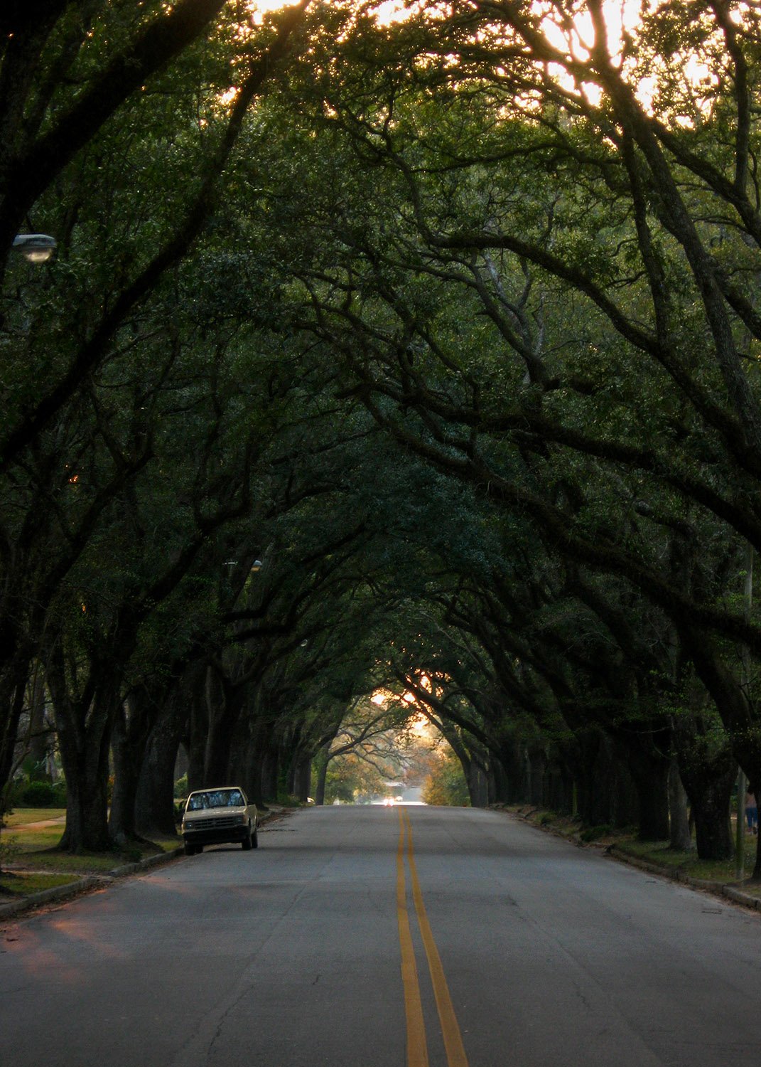
Albany sits on a bed of limestone at the head of the Upper Floridan Aquifer, one of the world’s largest underground water systems.
Dougherty County and a portion of neighboring Lee County are notable for their karst topography, characterized by sinkholes of varying shapes and sizes that form when the sandy soil collapses into the cavernous limestone underneath.
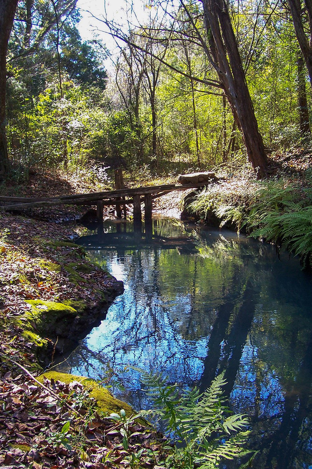
Similarly, “blue holes,” like Palmyra Springs in Lee County, form when the ground sinks into the aquifer, bringing its ancient, crystal-clear water to the earth’s surface.
The largest blue hole in the Albany area is Radium Springs, which still flowed year-round when I moved there and was one of the most breathtaking places I’ve ever visited.
Back then, the spring was closed to the public, and you had to crawl through a hole in a chain-link fence to see it, but the trespass was totally worth it.
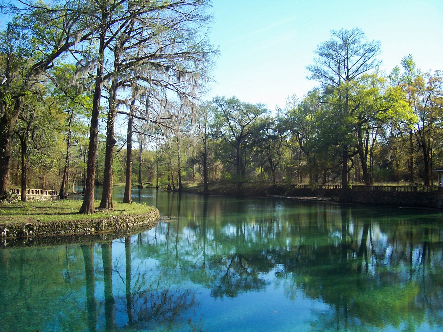
The color of Radium Springs’ water was indescribable: deep blue and emerald green, dappled with every color of the rainbow when the afternoon sunlight hit it at just the right angle.
For decades, Radium Springs was a popular swimming spot—for Whites anyway—and in the 1920s, a large “casino” was built on its banks, though it never hosted gambling.
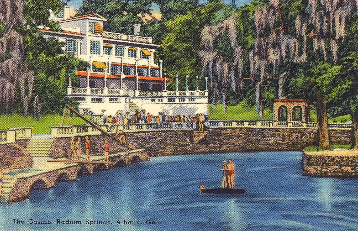
The casino was submerged during the 500-year Flood of ’94, and again in a second flood in 1998. There was a lot of local nostalgia for the place, but no one had the money to renovate it, and the State of Georgia ultimately demolished the building in 2003.1
By the time Dougherty County turned the site into a public park, Radium Springs had begun drying up in the summer months, and on my last visit, it was basically a stagnant mudhole covered in algae.
Turns out the aquifer’s supply isn’t limitless, and as the region’s farms keep pumping out water to irrigate crops, the blue holes of Southwest Georgia will likely dry up and fade into memory.
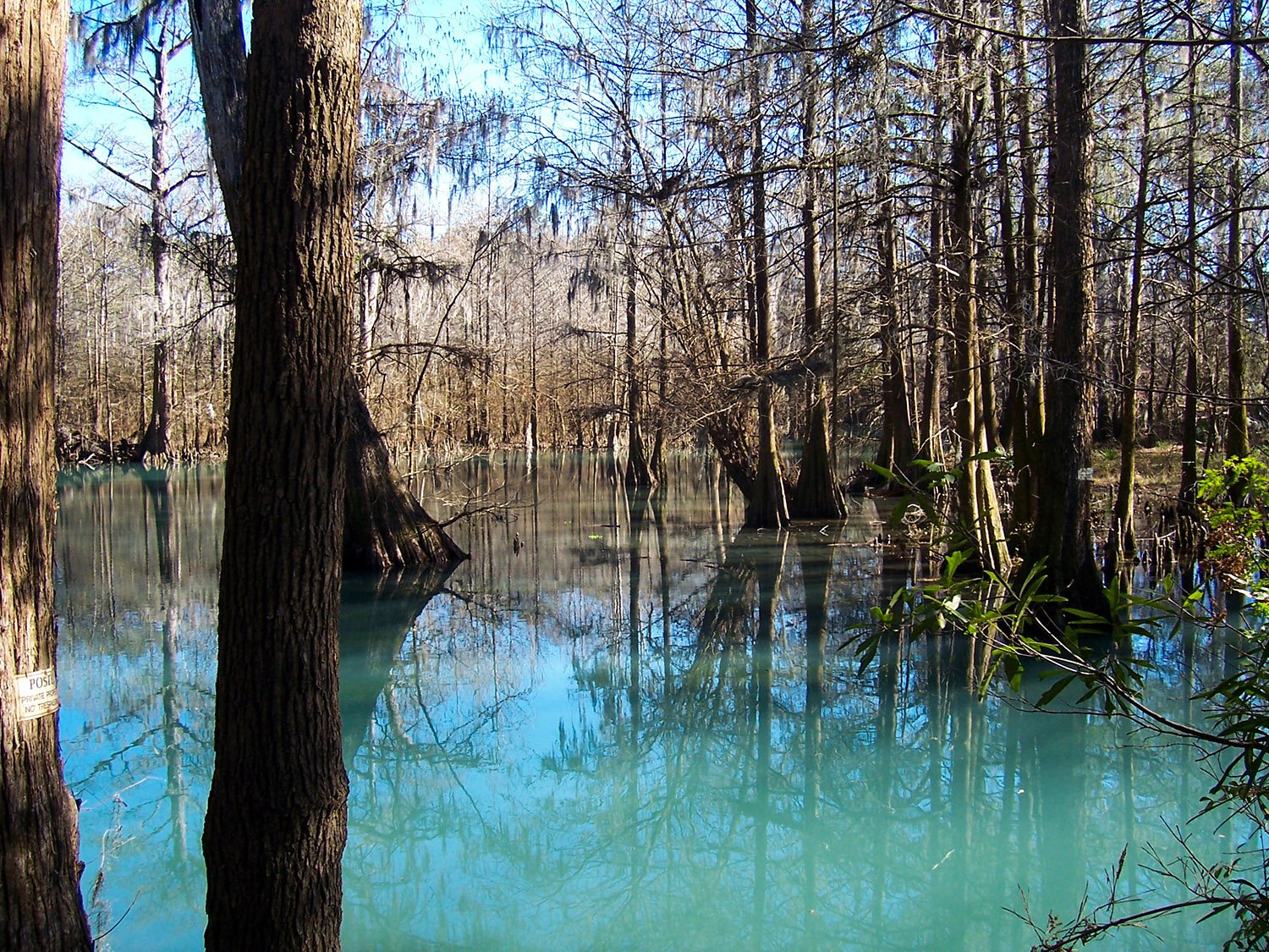
When Radium Springs is active, its water flows into Skywater Creek, which meanders through a grove of giant cypress trees to the nearby Flint River.
The Flint River is unique because it runs through a limestone channel. The water is brown as shit and crawling with reptiles, but when it’s low, you can walk across the rock shelf and find arrowheads and fossils in the holes.
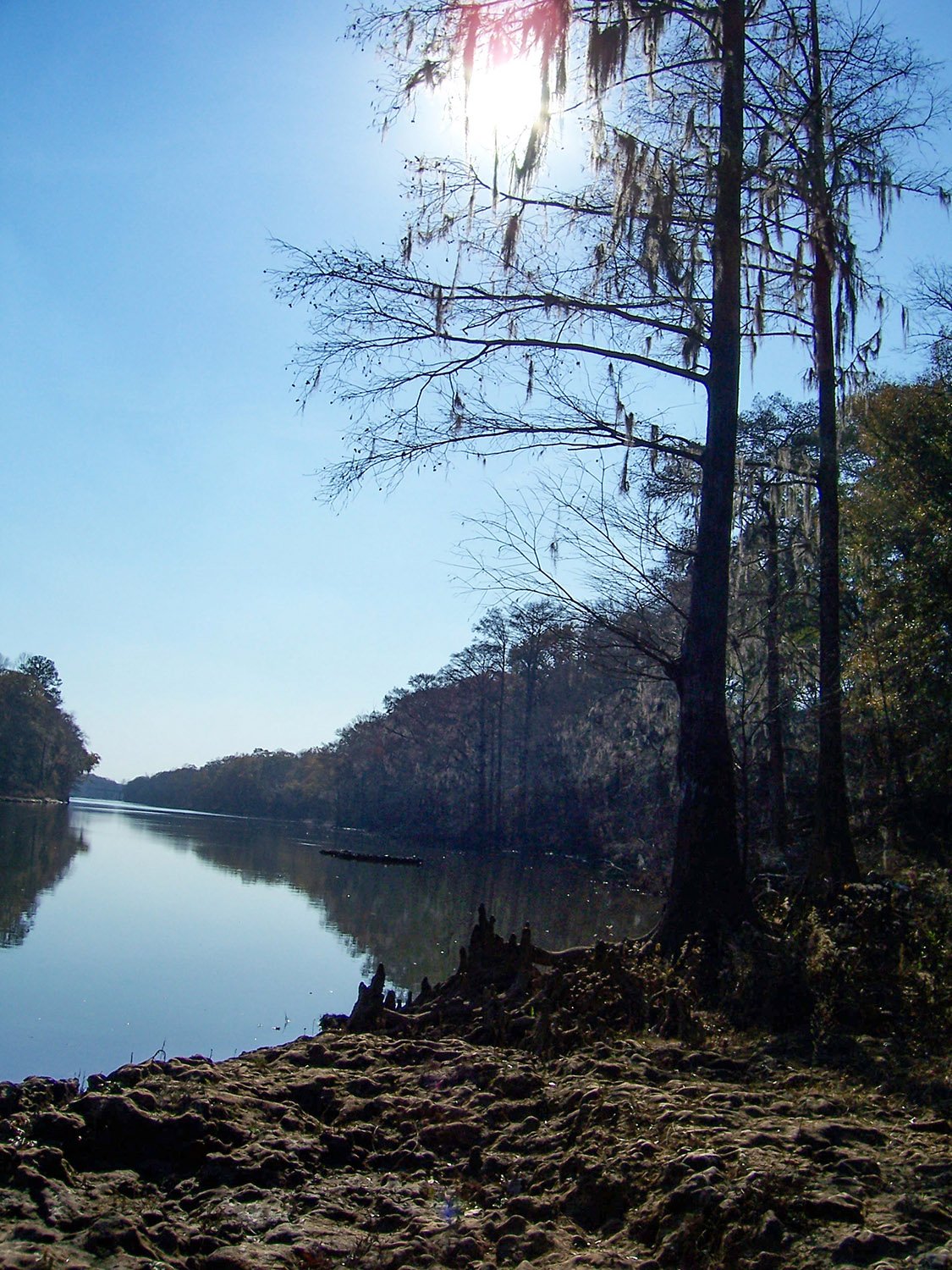
One of my favorite spots to explore in East Albany was a giant bend in the river where the city’s settlers dredged the channel to make it navigable for cotton shipping—it didn’t really work.
I can’t imagine how they did it with 19th-century equipment, but somehow the workers cut the limestone in giant chunks and piled them up on the bank. There are large gaps between the chunks, so you have to leapfrog from one to the next, and God only knows what’s lurking in those cracks.
On one visit, I nearly stepped on a water moccasin that was at least three feet long—better than a gator, anyway.
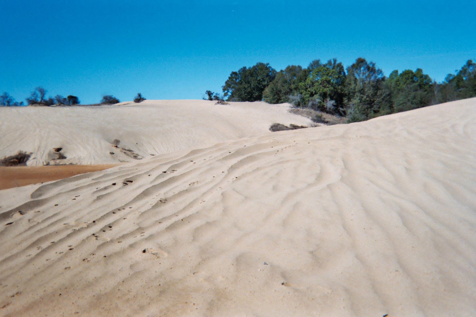
Another anomaly in East Albany is a swath of fossil sand dunes that were formed during the last Ice Age.
The prevailing theory is that when glaciers in the Appalachian Mountains melted, the water carried large quantities of sand downriver and deposited it around present-day Albany. As the waters subsided, high winds blew the sand into a ridge along the riverbank.2
The sand dunes originally stretched about 30 miles, from Albany south to Baker County. Many of the dunes have been destroyed, and some are covered in trees, so they just look like wooded hills.
The largest extant dunes are located along Sands Drive near the campus of Albany State University. Some of the peaks there are 30 to 40 feet high, although years of encroaching development, sand mining, and heavy four-wheeler activity had largely decimated them by the time I lived there. I’m sure it’s much worse now.
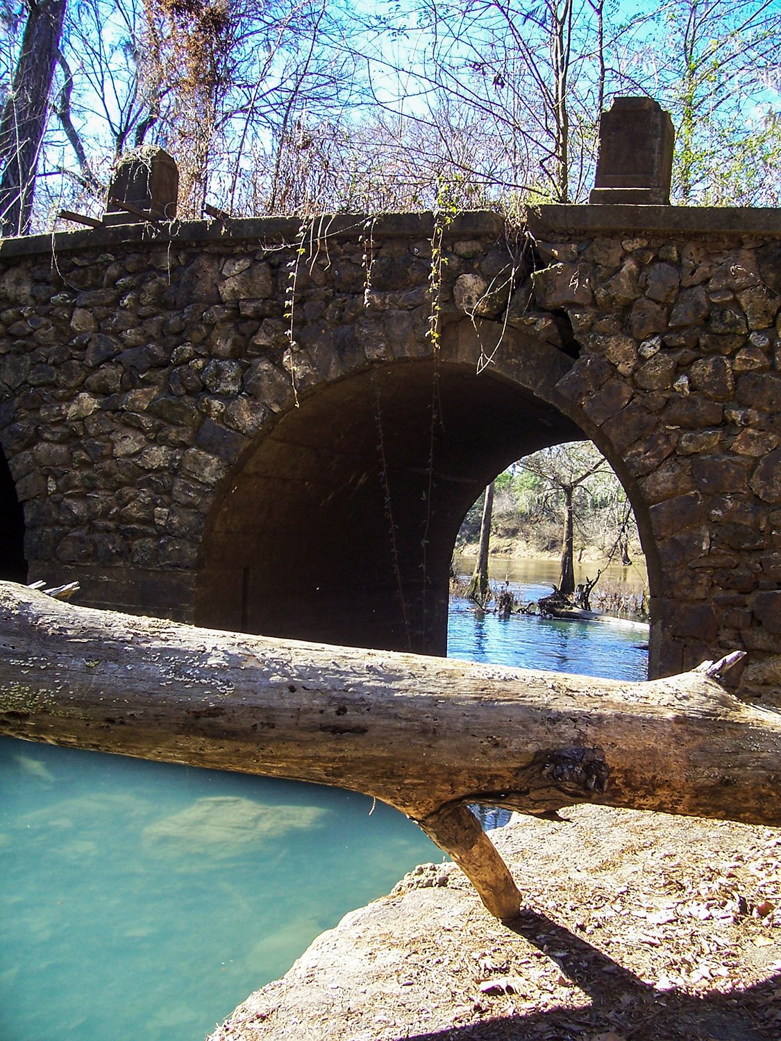
I was always a passing stranger in Southwest Georgia, and the longer I live, the more Albany feels like a weird blip in my memory.
I have no family, friends, or attachments there, and I’m glad it’s far behind me. I guess it has its charms, though.